The 3,300 Kilometer Constraint: Geological Determinism in the Mataala Conflict (1890–1905)
I. The Primary Citadel: Mataala
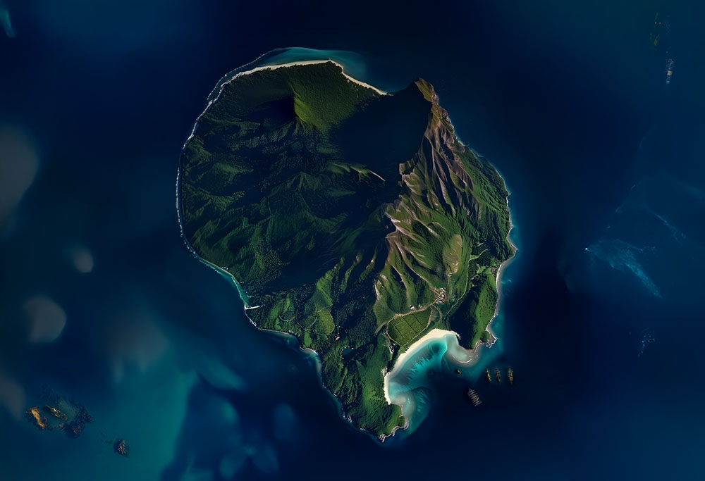
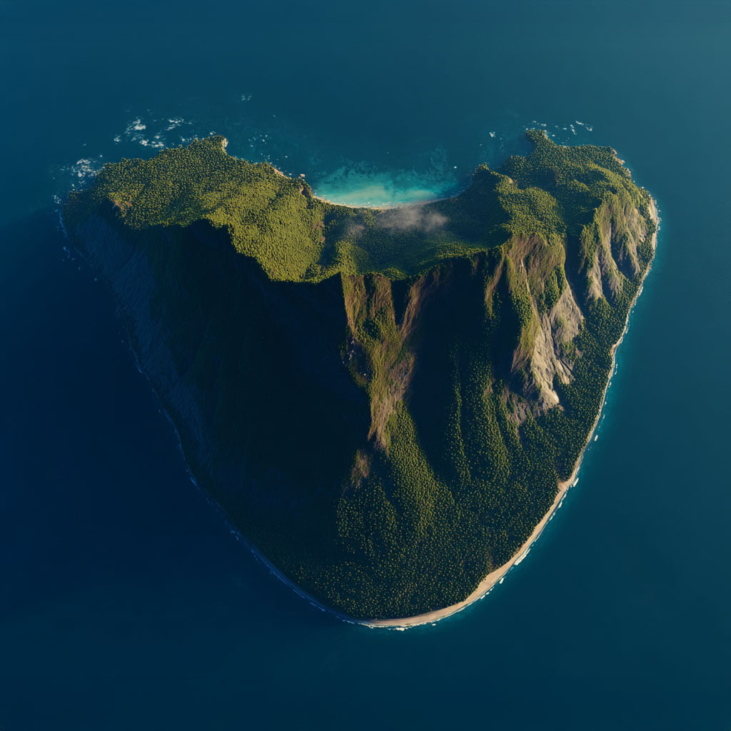
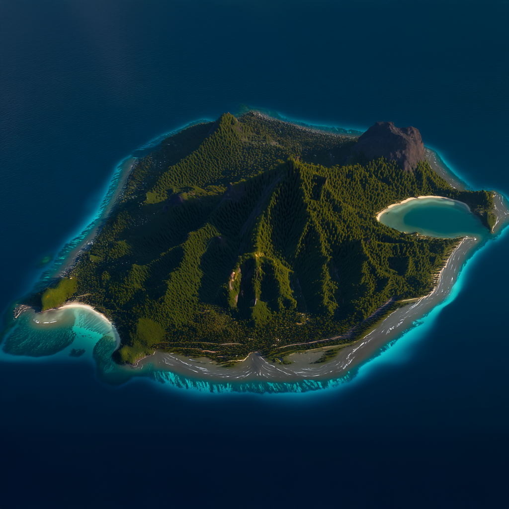
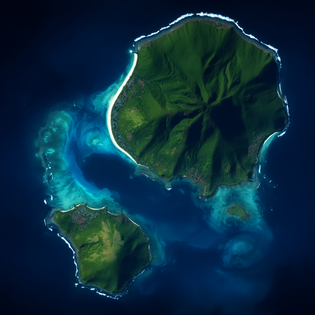
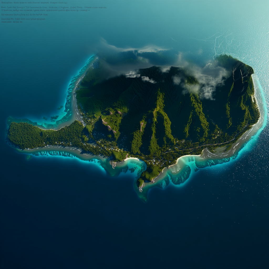
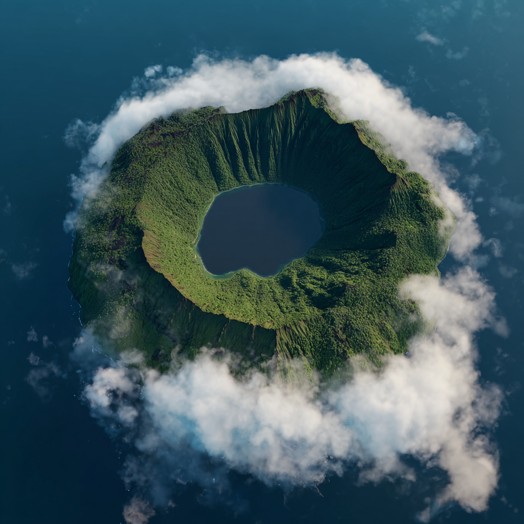
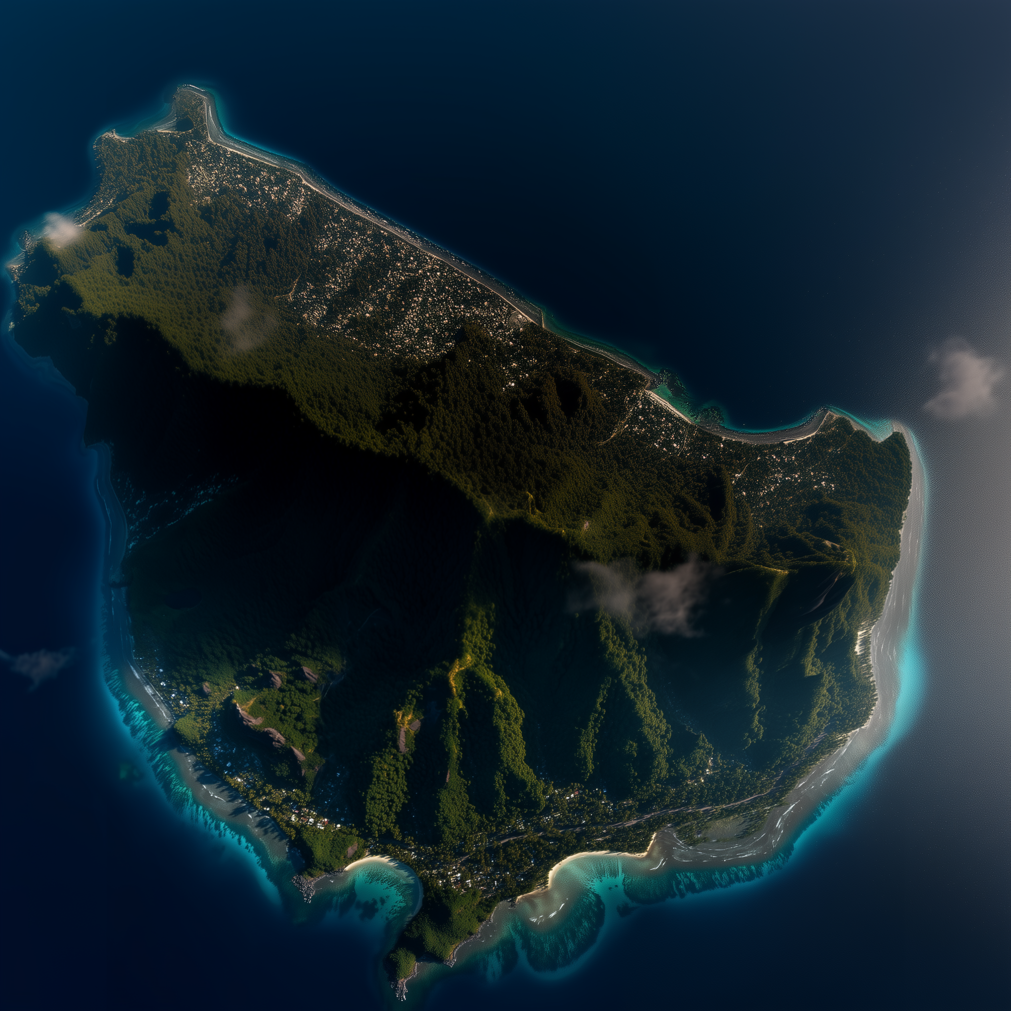
The conflict centered on Mataala not because of its resources, but because of its location. In the late 19th century, the transition from sail to steam required coaling stations. Mataala (Figure 1), a resurgent stratovolcano with a breached southern rim, provided the only storm-proof harbor in the region.
The island is defined by steep basaltic ridges rising 600m above sea level. This topography created a "defilade trap." Turnbull, blinded by ego, saw the harbor as a throne. Nalani saw it as a chimney. During the final confrontation, she utilized the island's unique wind shear to drive smoke into the bay, blinding the mercenaries while her forces held the high ground.
II. The "False Ports": Geological Failures
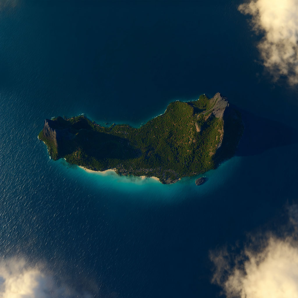
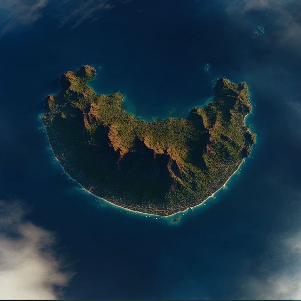
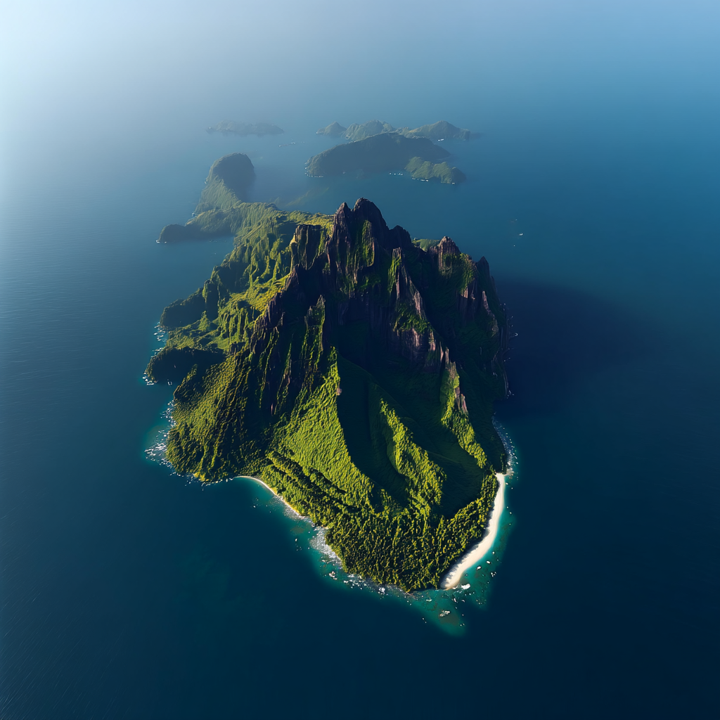
To understand why Turnbull was trapped at Mataala, one must survey the surrounding major islands. While visually imposing, they were geologically unsuitable for trade operations.
III. The Panopticon: "The Ring of St. Jude"
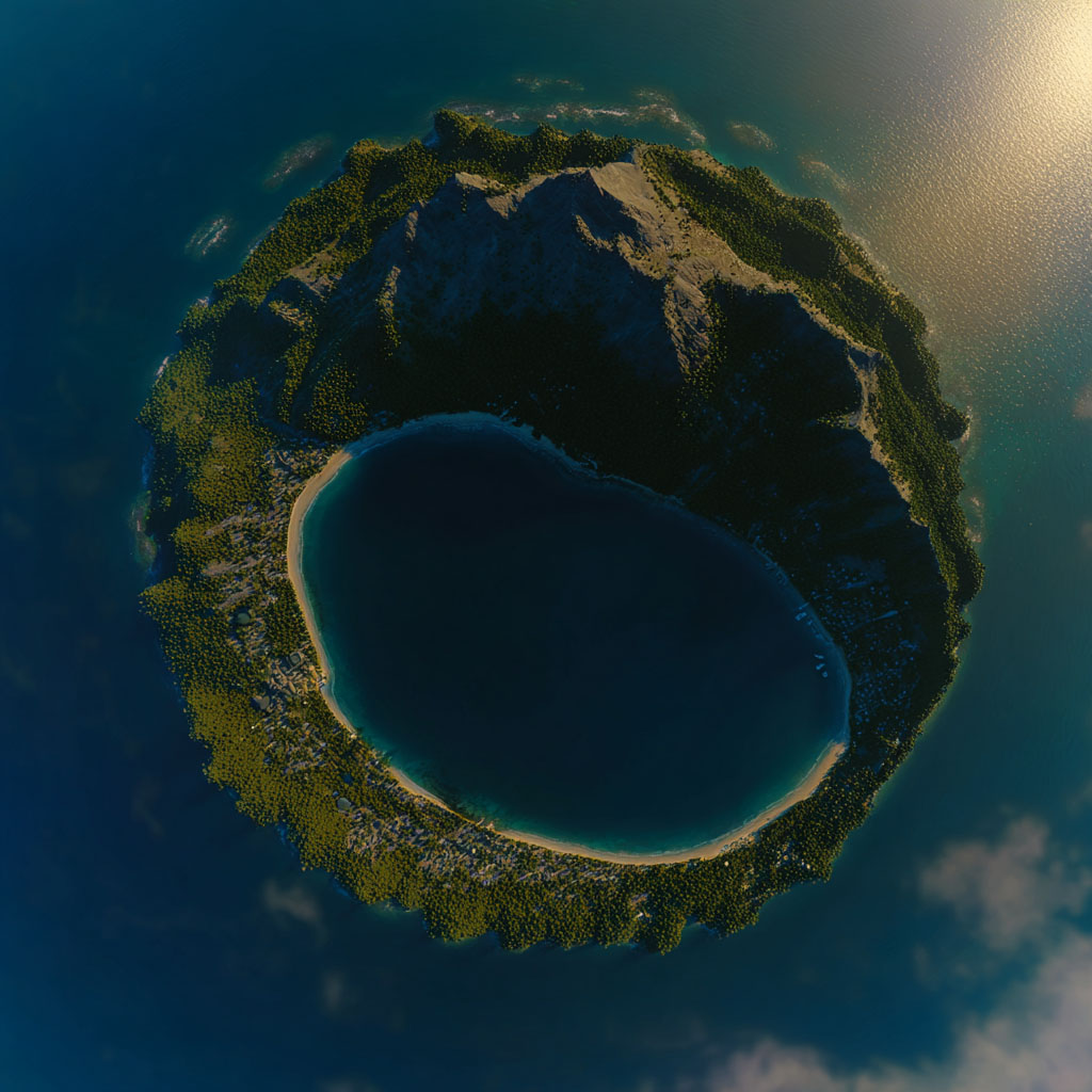
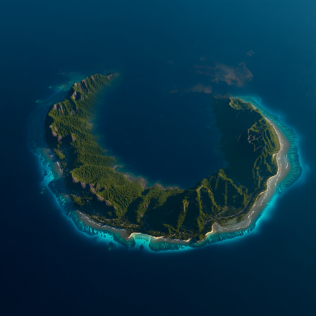
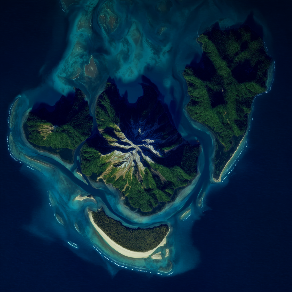
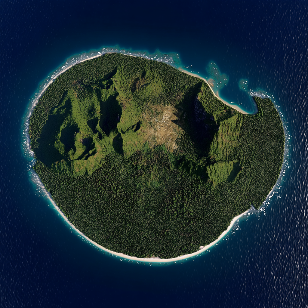
Island 003 represents a geological anomaly—a perfect tuff ring. This served as the Catholic mission outpost where Nalani was held. Geologically, it is a natural prison (a "closed system").
The single narrow breach allowed strong currents to rip through, deterring escape. However, the unbroken circular rim created a "Panopticon" effect—there was nowhere to hide from the Nuns' observation. It was here that Nalani mastered the water, turning the prison's geography into her training ground.
IV. The "Shattered Belt": Archive of the Debris Field
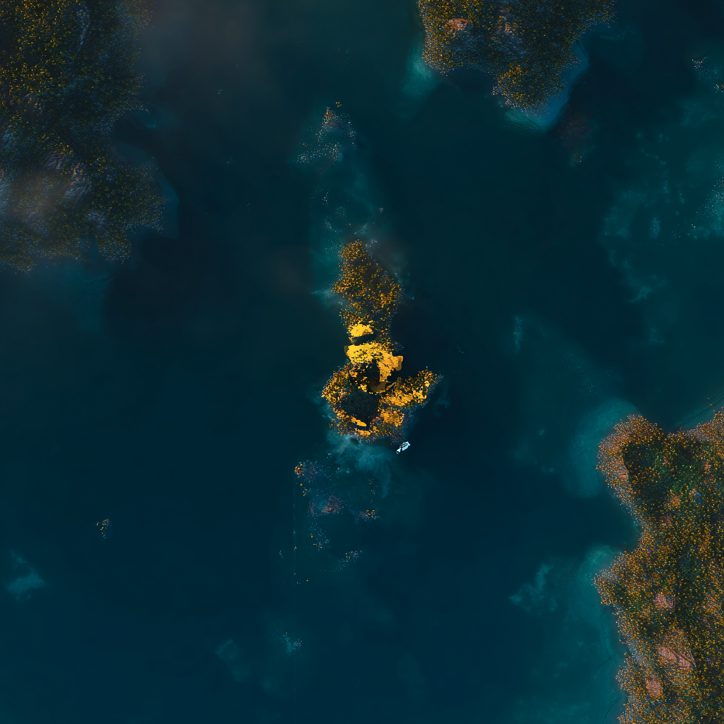
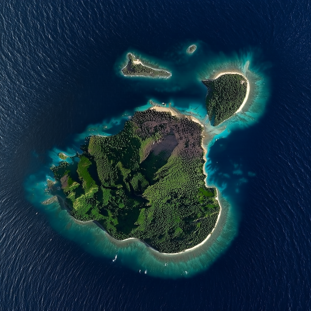
Surrounding the main caldera is a chaotic zone of ~200 erosional remnants and submerged pinnacles. This area is crucial for two reasons:
- Economic Origin: This is the site of the "Sunken Bank," where Nalani recovered the treasure of a wrecked Dutch trader, using it to ensure she had help from the international traders.
- Tactical Asymmetry: The shallow drafts of the island outriggers could navigate these "reef knots," while the heavy cutters of the Turnbull faction were forced to the deep water perimeter.
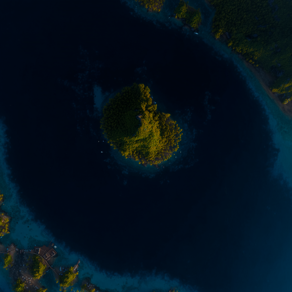
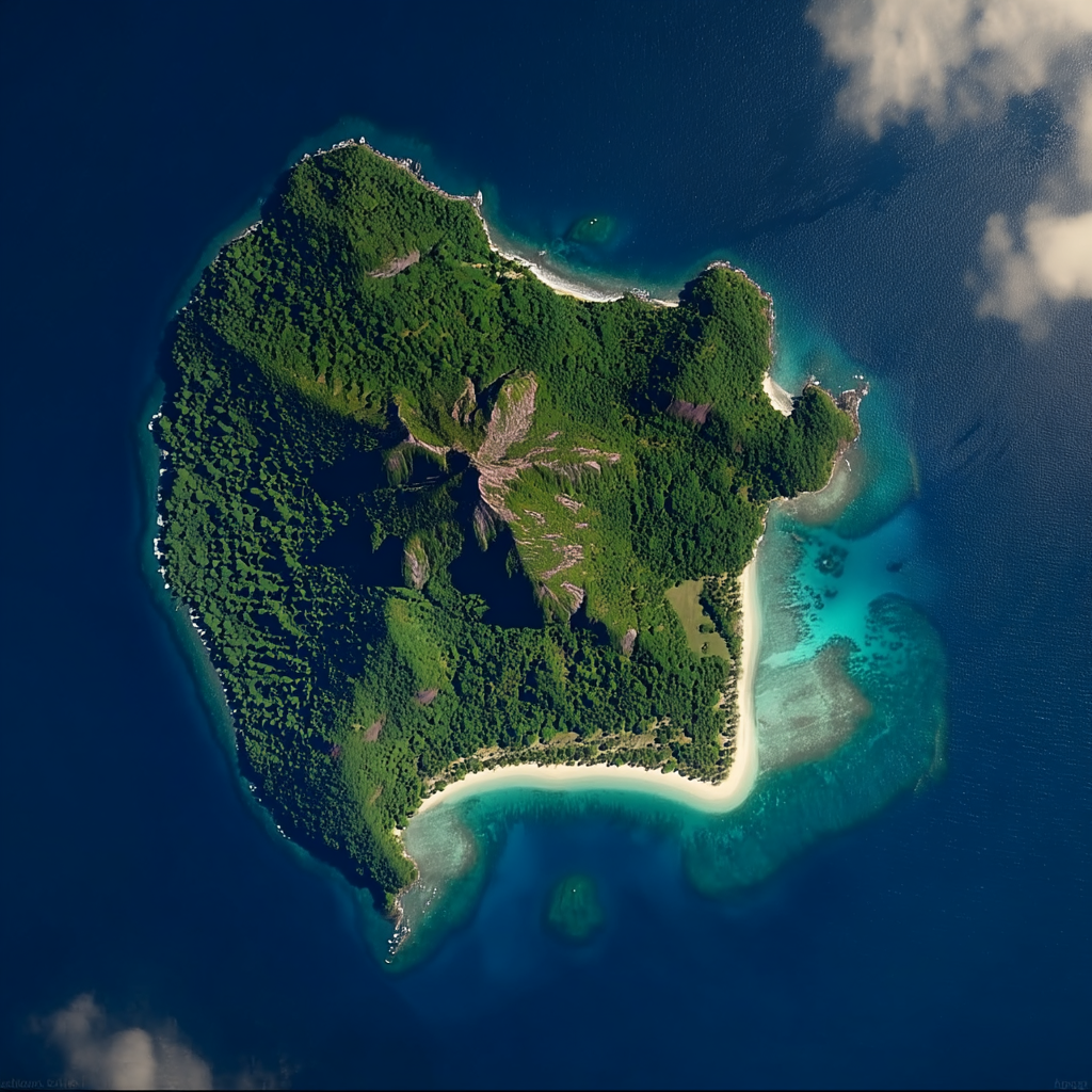
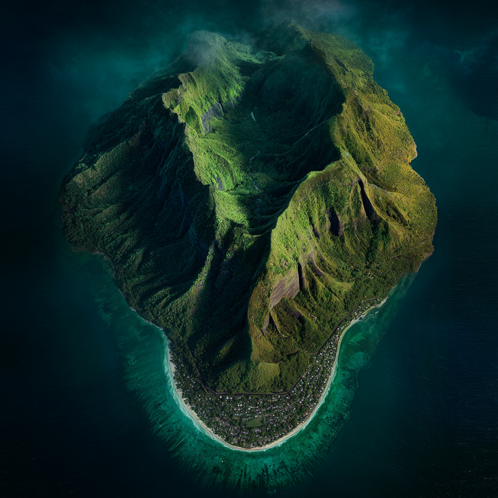
Survey Plate A: The Inner Cordon (Lookout Posts)
Small, vegetated cones used by resistance scouts to signal the approach of Hale's fleet.
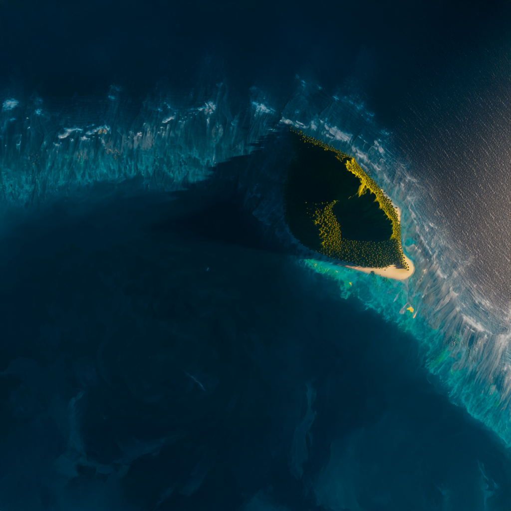
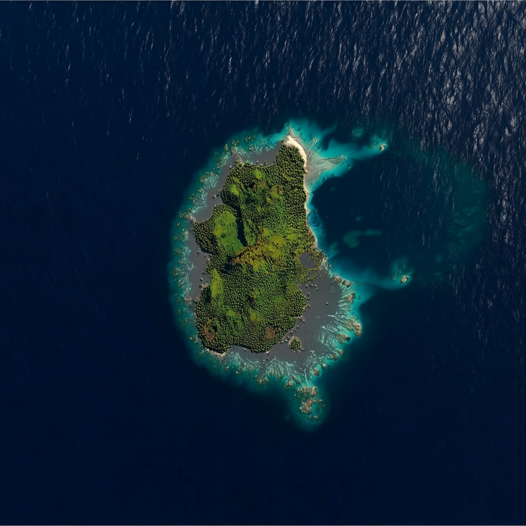
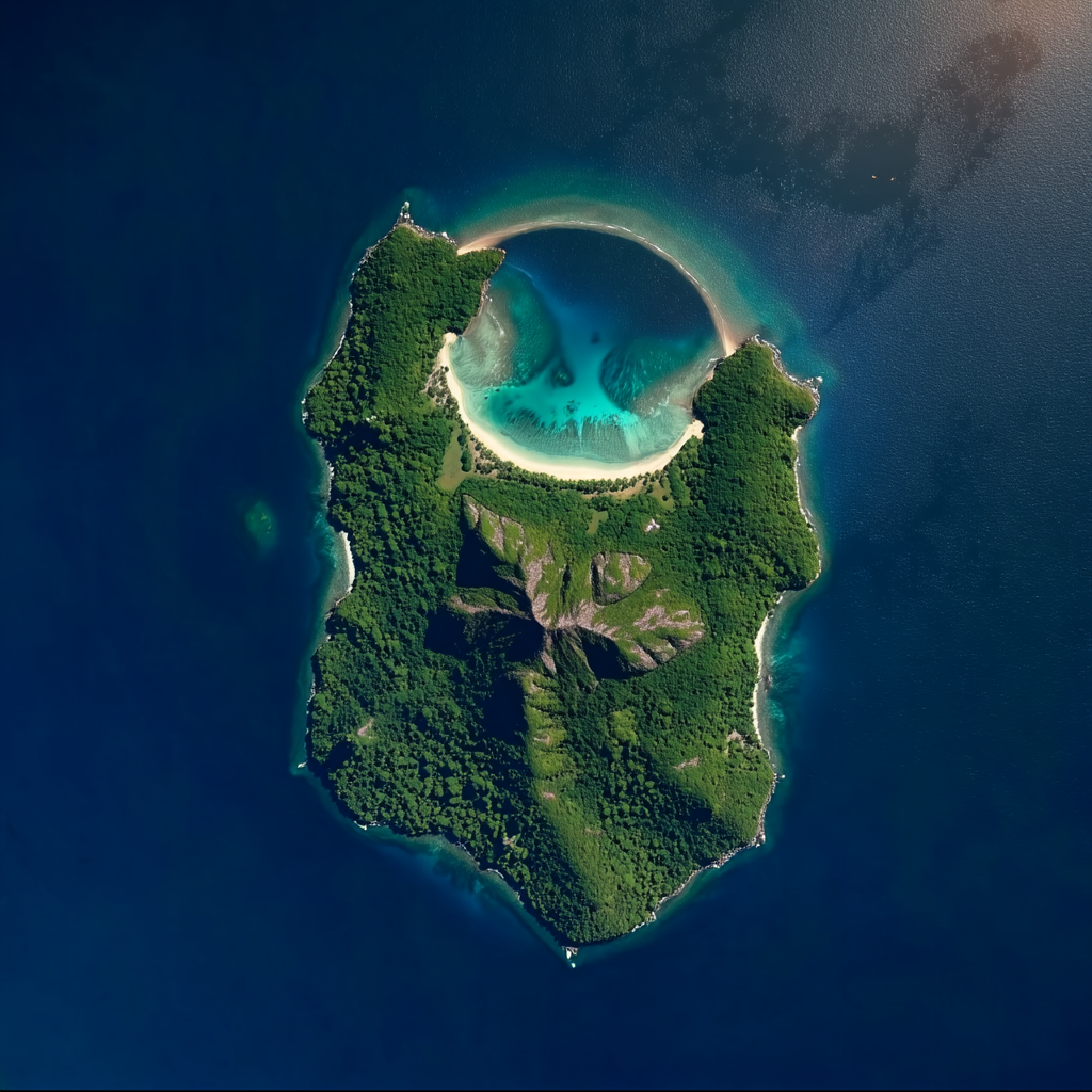
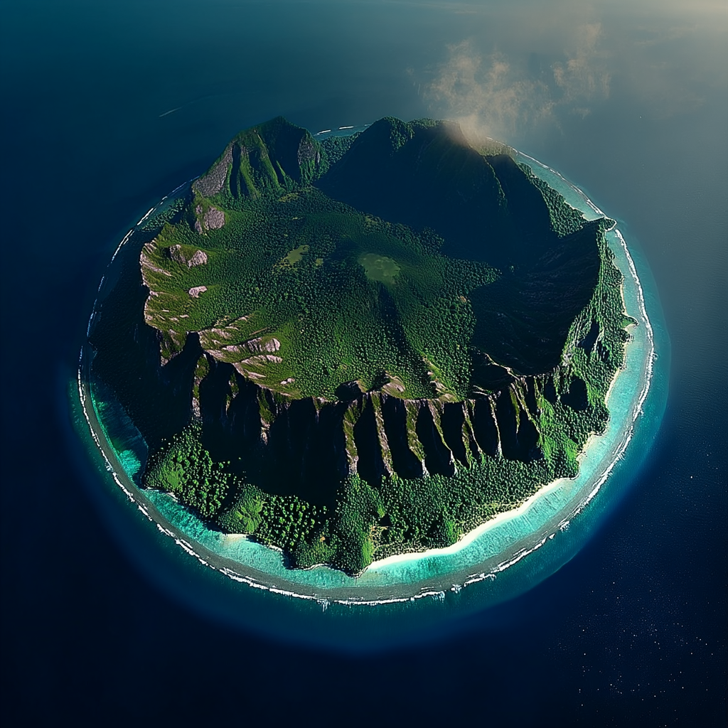
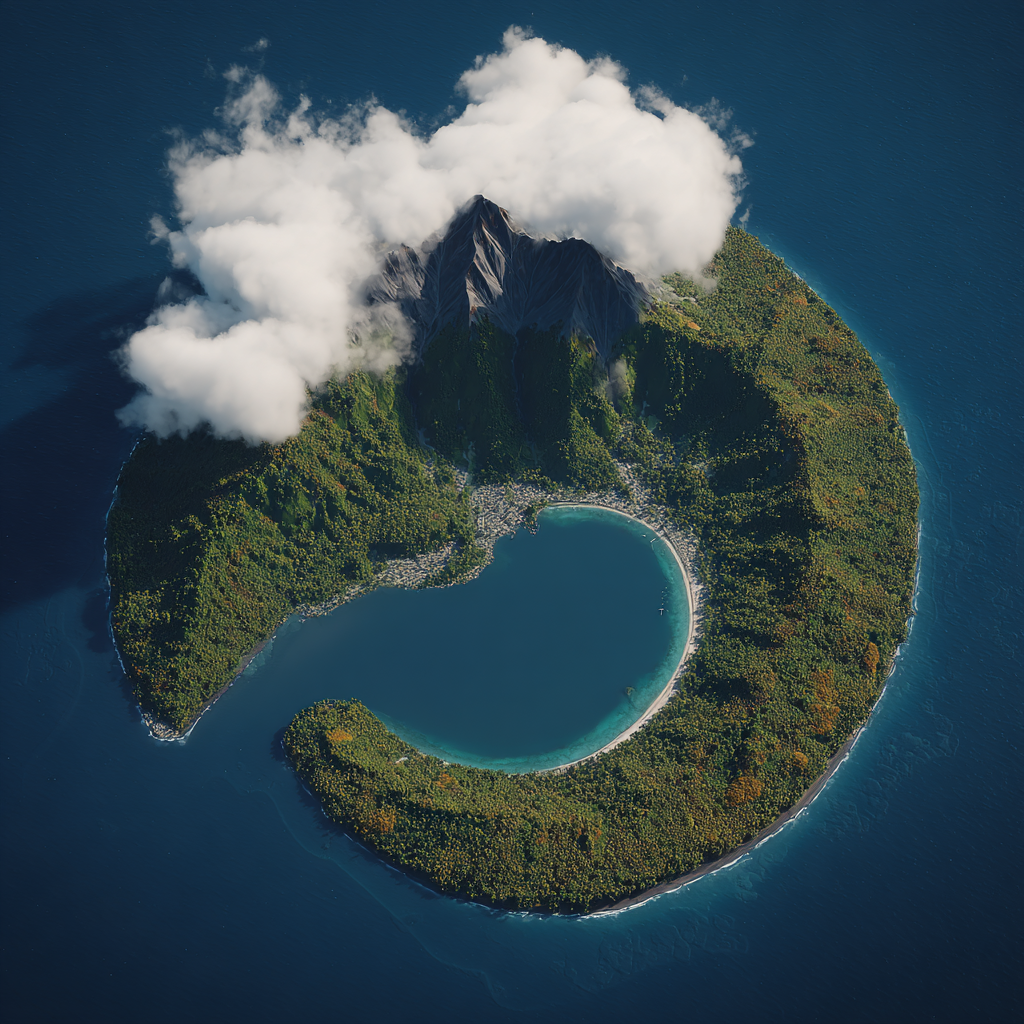
Survey Plate B: The Windward Approaches (Hazards)
Characterized by shallow reefs and treacherous submerged shelfs. Area of the "Sunken Bank".
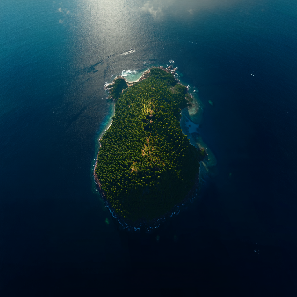

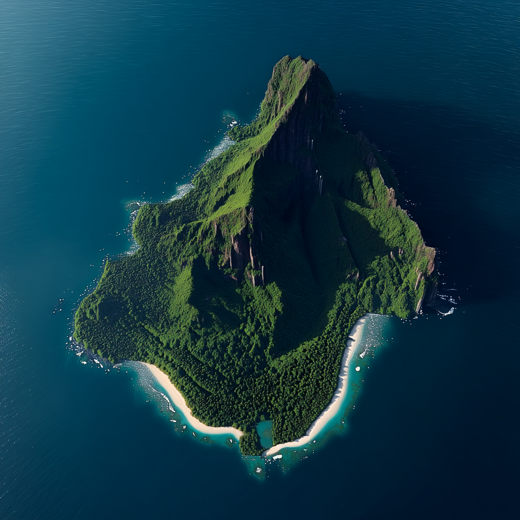
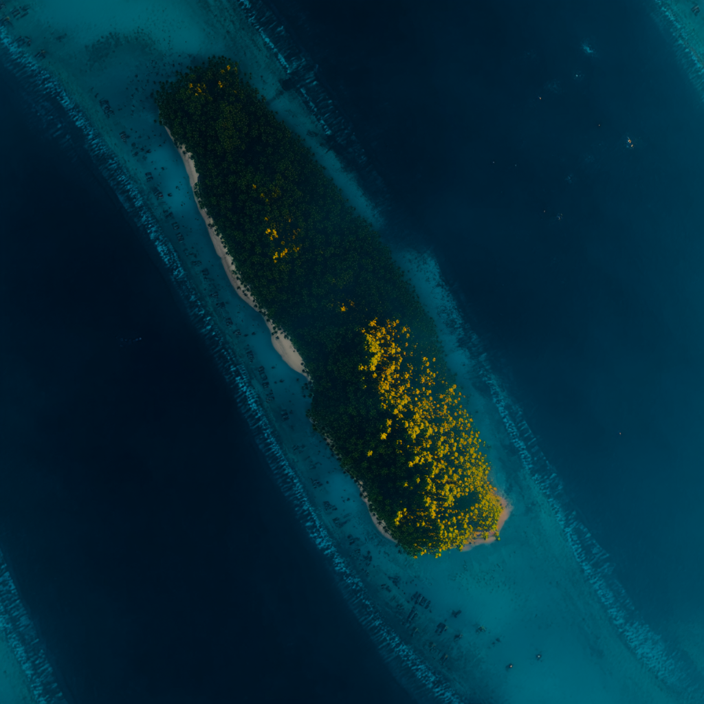
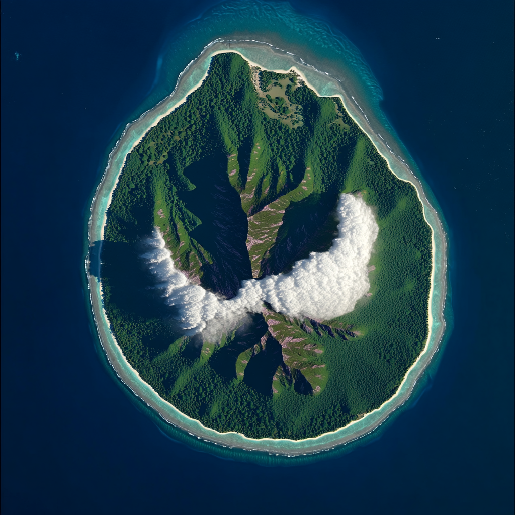
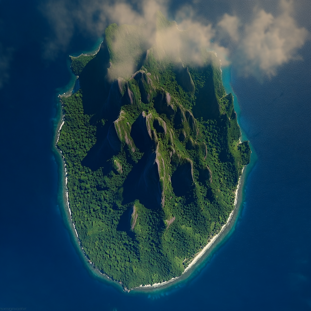
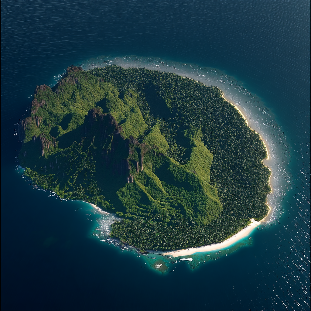
Survey Plate C: The Leeward Shoals
Denser vegetation, used for hiding outrigger fleets prior to the ambush.
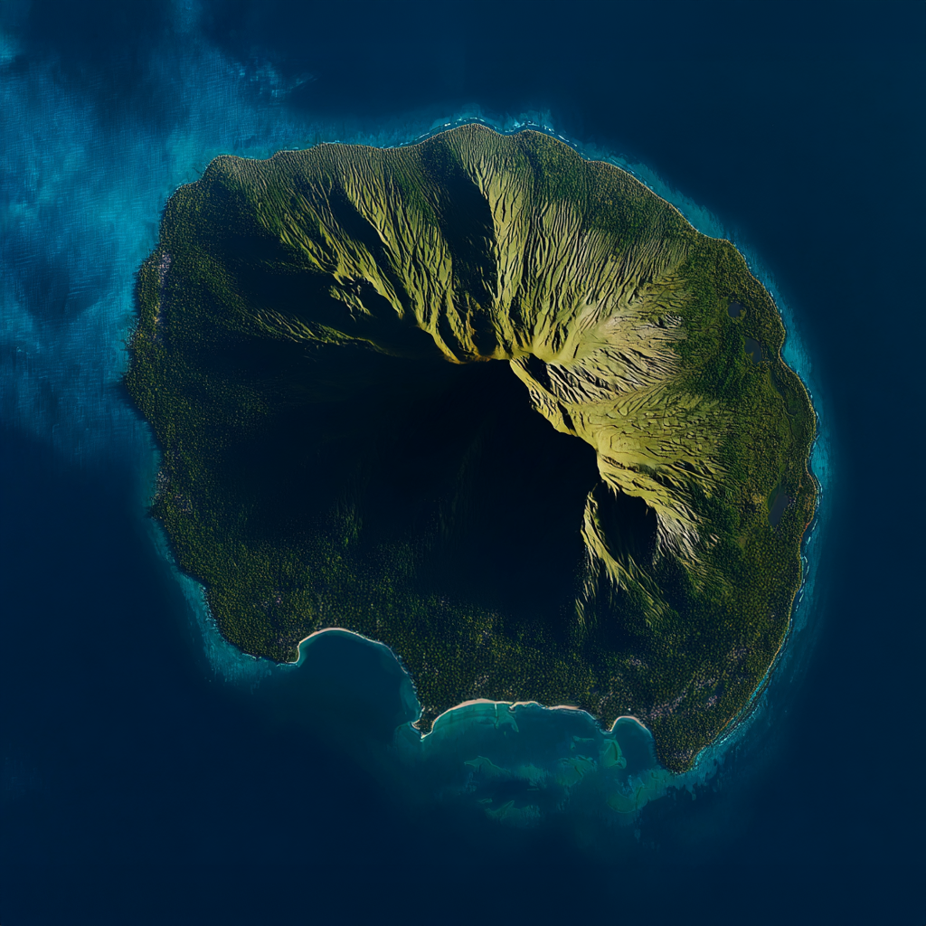
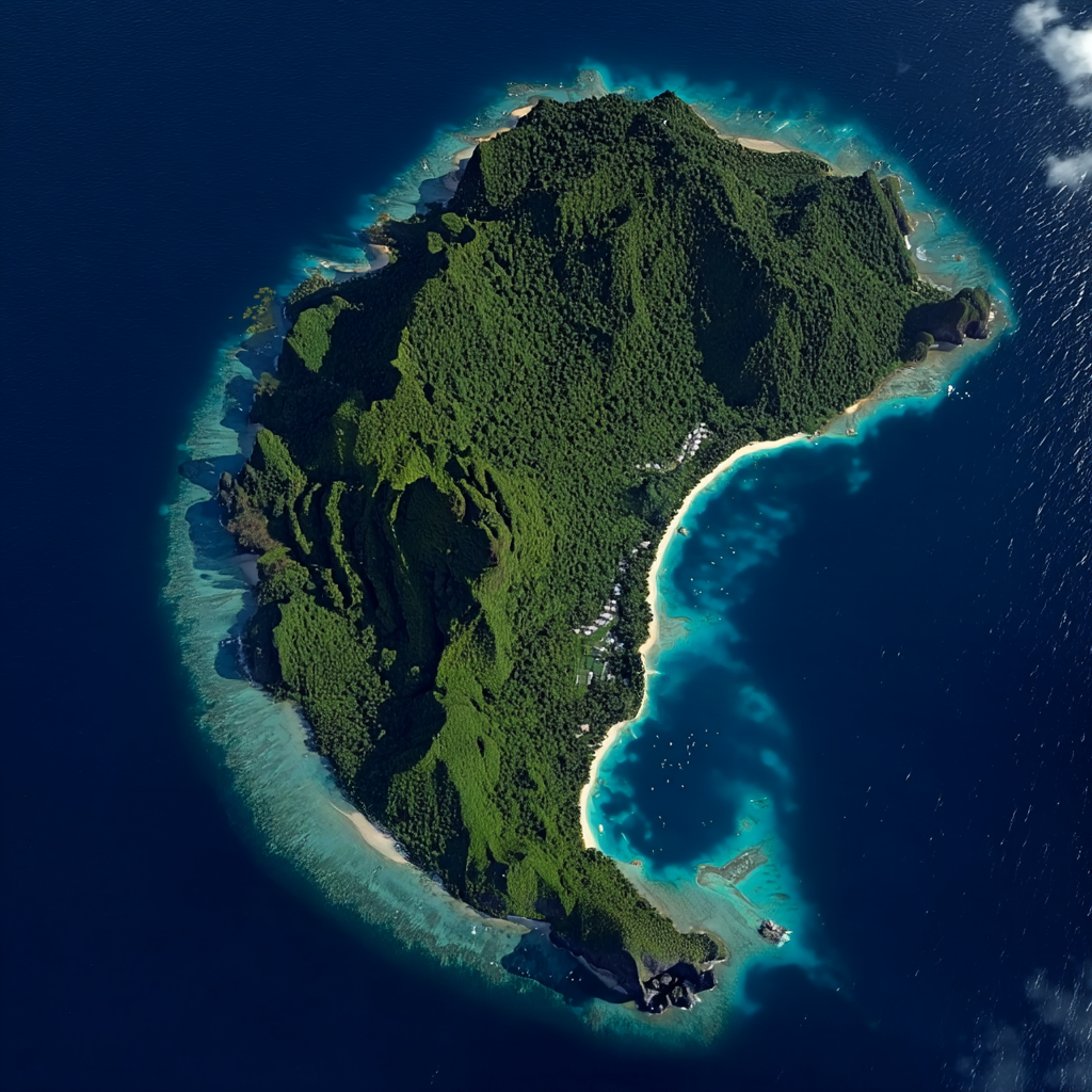
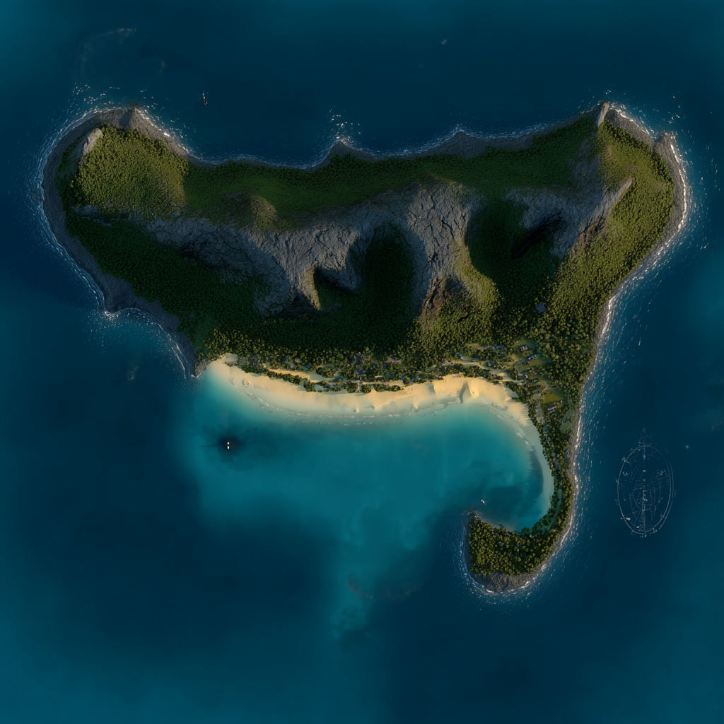
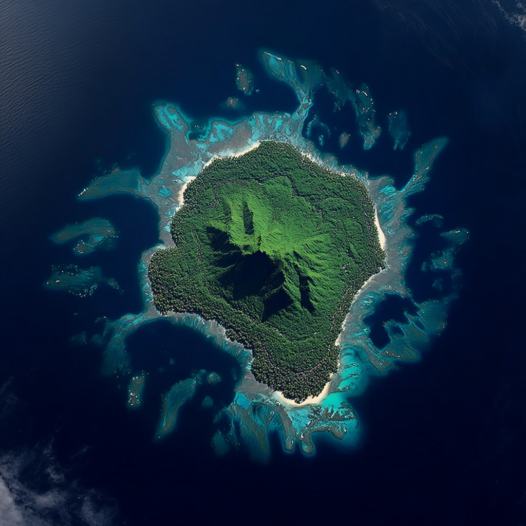
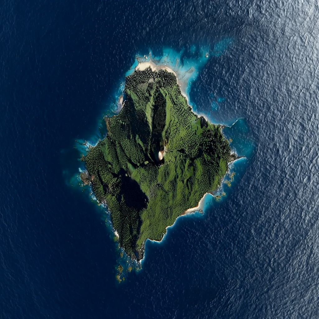
Survey Plate D: The Outer Periphery (The Void Markers)
The final geological markers before the 3,300km gap begins. Navigation points for deep-sea vessels.
V. Conclusion: Geological Determinism
The liberation of Mataala was not a miracle of warfare, but a leverage of geography. Nalani did not defeat Turnbull's rogue enterprise with superior firepower, but by understanding that the island itself was a constraint he could not overcome.
Turnbull fought against the geology—trying to force heavy ships into shallow reefs and marching men onto unstable black sands. Nalani aligned with it. She used the "Ring of St. Jude" to forge her psychological resolve, the shallow banks of the Debris Field to fund her mainland education, and the ventilation dynamics of the Main Caldera to blind her enemy during the final confrontation.
Ultimately, the conflict was dictated by the 3,300 kilometer gap between the mainland and the next viable port. This isolation forced all players onto this specific rock, but only one knew how to read the stone.
1. Bathymetric Survey of the Tokelau Basin, HMS Penguin (1899).
2. Vane, S. & Thorne, A. (2025). "Pyroclastic Politics: The Role of Volcanism in Colonial Resistance." J. Pac. Hist.
3. Nalani, M. (Archives). Personal Correspondence regarding the 'St. Jude's' confinement.